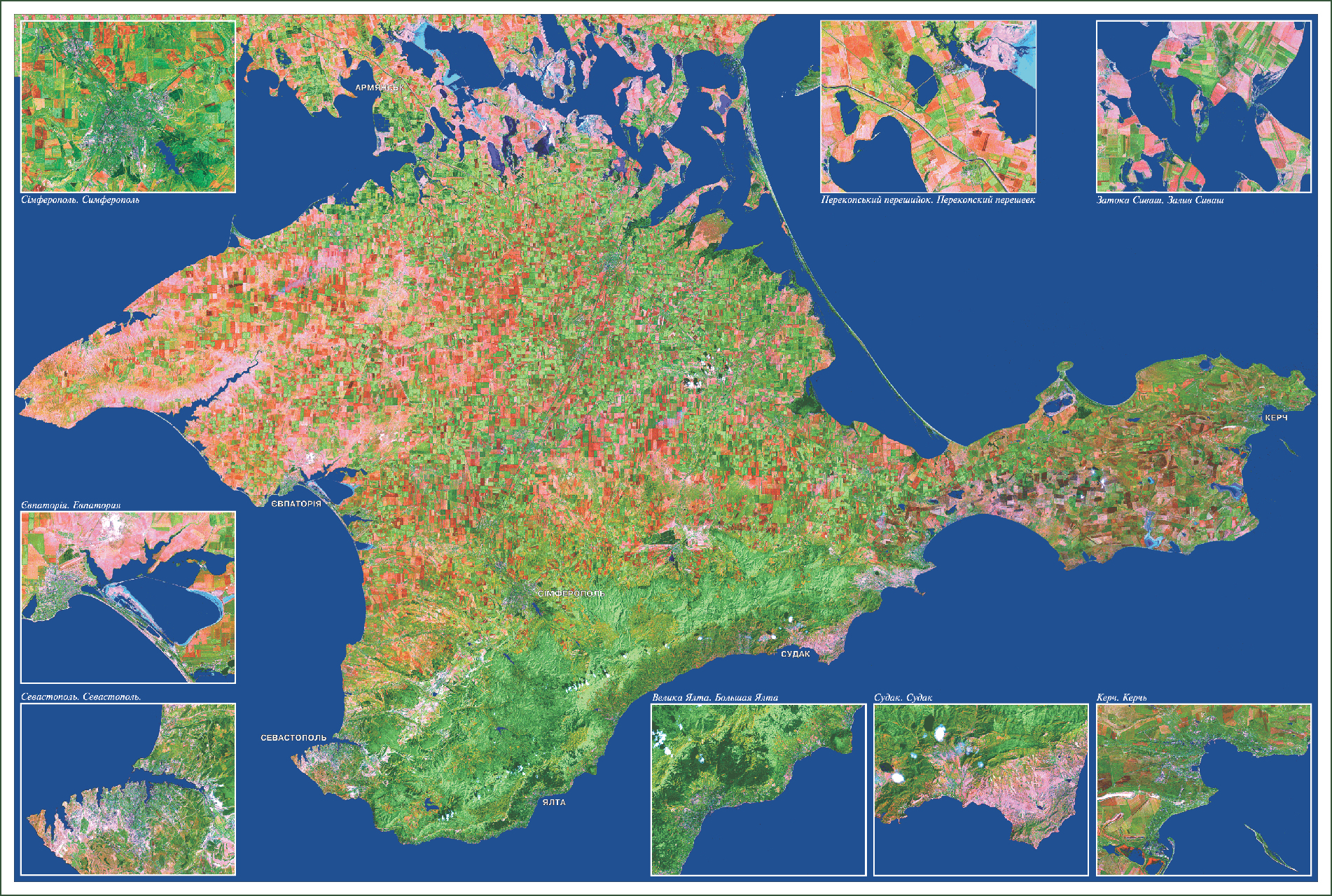
map is based on Mosaic multispectral satellite imagery satellite Landsat 4TM and is an illustration of what opportunities open up in the study of Earth's modern scientific and technological achievements.
This map at first glance - just a beautiful card, is actually very informative. Sufficiently high resolving power allows even an inexperienced user, if desired, to get a lot of interesting information. So a small number of clouds on the peninsula at the time of filming rather typical of the Crimea as the most dry regions of the country. A number of their predominant location on the southern coast and the complete absence in the west corresponds well to the climatic maps, illustrating how these regions, respectively, least and most dry regions of Crimea.
The map is well read by cultivated agricultural land. A change in the color palette of orange-red in the west to the green to the east shows that the period of ripening crop goes in the direction of sultry west to east over cooler. Also on the card read good irrigated lands.
Irrigation installation then turn in a circle around the center, thus forming a green area under a circular configuration. The absence of cultivated agricultural land around the bay and Yarylgachskoy
Lake. Donuzlav supported map "Vegetation", which in these areas - vegetation, salt marshes and semi-arid steppe.
A detailed examination of the material can be discerned most channels, main road, well read terrain and the elements of urban development areas (especially in the insets).
Different color water areas illustrates how the depth of water in the direction from the coast to the center (Lake Uzunlarskoe, Tobechitskoe, etc.).
Comparison of cards with any other similar size makes it possible to verify how well the chosen mathematical projection and updated geographic base maps in the atlas. A considerable amount of information obtained from this material, is proof that modern technology can be used effectively in monitoring the situation in many areas of research.
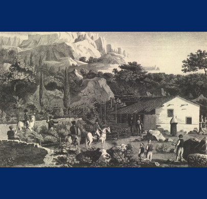
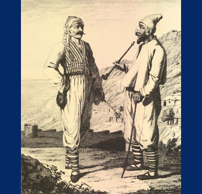
CRIMEA


 English