Established February 27, 1932
Area - 26,5 thousand square meters. km, 4,4% of Ukraine, 11 among its regions
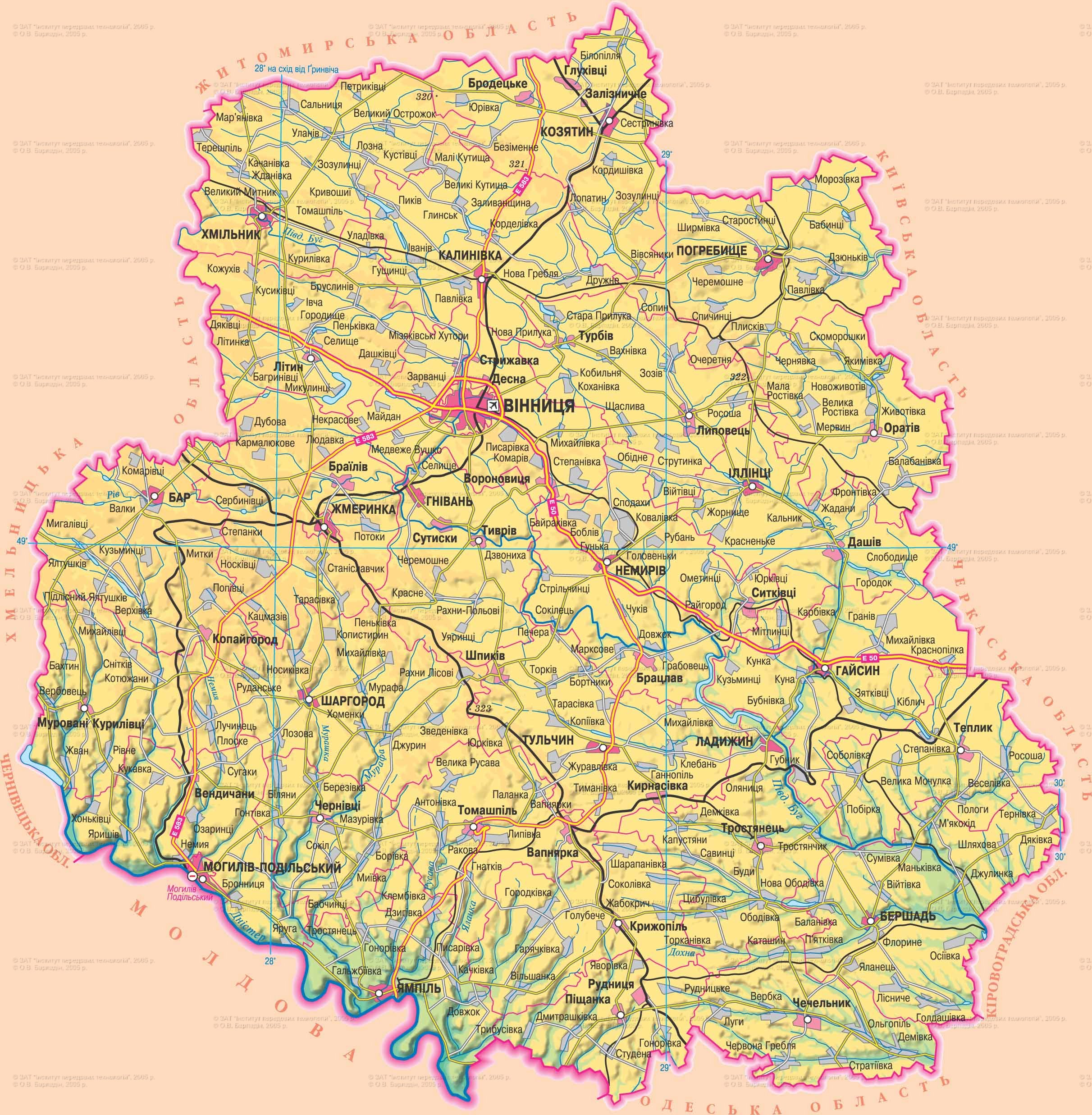
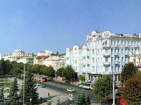
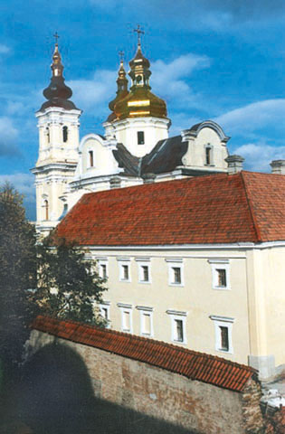
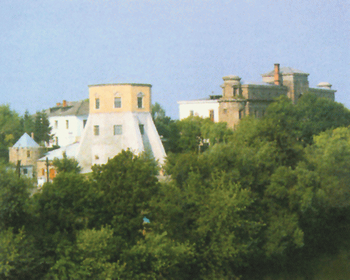
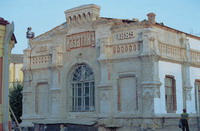
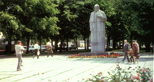
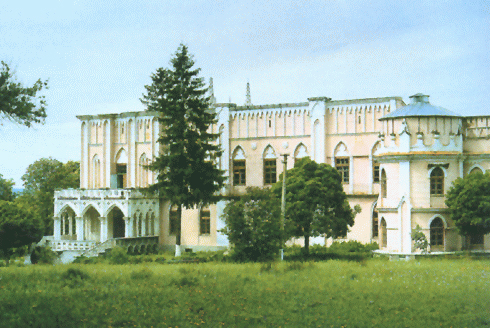
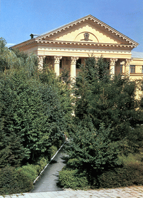
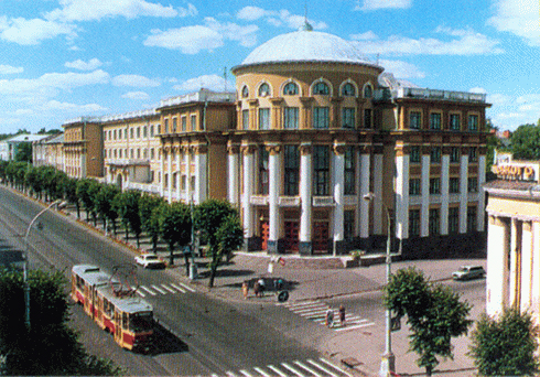
region center - Vinnitsa
Territory - 63,4 sq. km. km
Population City - 362,5 thousand people
number of districts - 27
Bridge - 18, including the cities of regional subordination - 7
largest city area : Vinnitsa, Tulchin, Mogilev-Podolsky, Khmilnyk
Urban-type - 29
villages - 1466
Population - 1 655.0 thousand residents (on 01.08.2009 was)
Population density - 62,5 inhabitants per 1 square. km
City : 812,3 thousand people
Agriculture : 842,8 thousand people
National Structure : Ukrainian - 94,9%, Russians - 3,8%, Polish - 0,2%
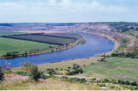
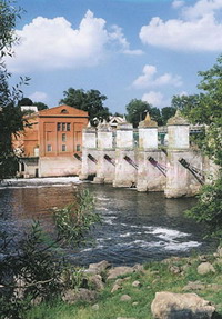
Located in the central part of the Right-Bank Ukraine, mostly in the basin of the Southern Bug River and left bank tributaries of the Dniester (in the middle stream of rivers). Undulating plain Lesova gradually decreases from the northwest (300 m) southeast (125 m). Buh valley divides the region into two parts. In the north-east of the Dnieper Upland is it striped Mezhyrich (with heights up to 322 m) and deeply incised (60 m) river valleys to the southwest - Podolsky height (352 m) flat interfluve and deep (200 m) canyon valleys. The region is rich in non-metallic minerals: Kaolin, stones (granite, gneiss, sandstone, phosphorite, limestone, marl, tripoli, chalk, gypsum, clay, sand). The climate is temperate with mild winters kontynenalnyy (-4 °, -6 °) and warm wet summers (18,6 °, 20,5 °). Precipitation - 550-590 mm a year. In the region 204 rivers longer than 10 km. By basseynu Buh include: Zgar, Reeve, Krasnianka, Shpykivka, Saltcellar, Dohna, Sob, Snyvoda, Udych; Dniester - Murafa, Liadov, inevitably, Rusava, Markivka; Dnipro - top Russian Roska, Hnylop'yati, Guyva. Total 2600 ponds, 63 reservoirs, 2 000 artesian wells. Among soils predominate gray forest soils (50.5%) and typical malohumusni black (42,1%), distributed as sod-podzol soils. Natural vegetation covers about 17% of the territory, of which 3% - meadow steppes and meadows, 0,5% - marshes. Area of forest, about 360 hectares, more than 43 hectares - on the slopes of ravines and gorges. The main wood species: oak, hornbeam, ash, maple, linden, elm. Wildlife is diverse, includes 420 species. These include: mammals - 70 species of birds - up to 300 species of amphibians - 11 fish - 30. Adverse natural processes: the plane washed away, on a steep valleys - landslides, karst processes in carbonate rocks. Reclamation activities: regulation of river flow, erosion and forestselioratyvni plantations. In the 339 territories and objects protected areas, including state value: 20 nature reserves, 10 natural monuments, 30 natural reserves, 11 parks, monuments of landscape architecture.
first settlers known from the Paleolithic era. Vinnitsa area was the area where the time among the tribes of Ukraine began to spread agriculture. There were major centers of Tripoli culture. Later there was a southern border of Kievan Rus. In the XV century. Eastern skirts (it was called the Vinnitsa region) falls under the rule of Lithuanian princes. Centre region is the city Bratslav. Bratslavshchina - one of the main branches of the Ukrainian Cossacks. Its territory of events occurring National Liberation War of the Ukrainian people mid XVII century. Eastern skirts become part of the Ukrainian Cossack state, then moves to the Ottoman Empire, returning the power of Polish kings and the end of XVII century. the land included in its membership the Russian Empire. Vinnichchina becomes part of the Podolsk province. Bratslav gradually loses status of the main cities in this region, Vinnytsya takes its place. During the Ukrainian revolution Vinnythese was the Government of the UPR, and from 1921 Vinnitsa - Center Podolsk province, later - Vinnytsia region. After 1954 the boundary invariant.

 English