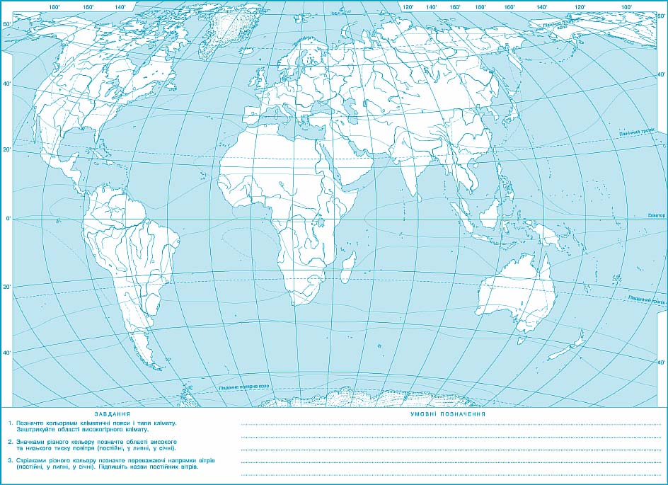
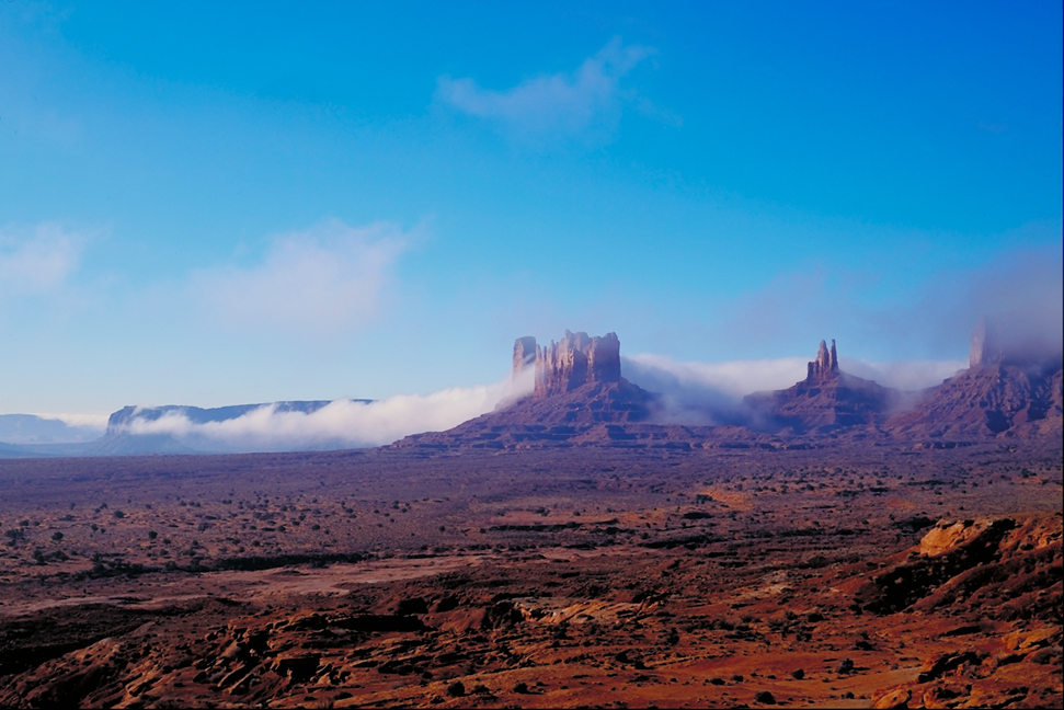
differences in climate in different parts of the globe caused by three main factors: latitude areas, the movement of air masses and the nature of the underlying surface.
Climatic map presented figures that are the basic characteristics of weather and climate.
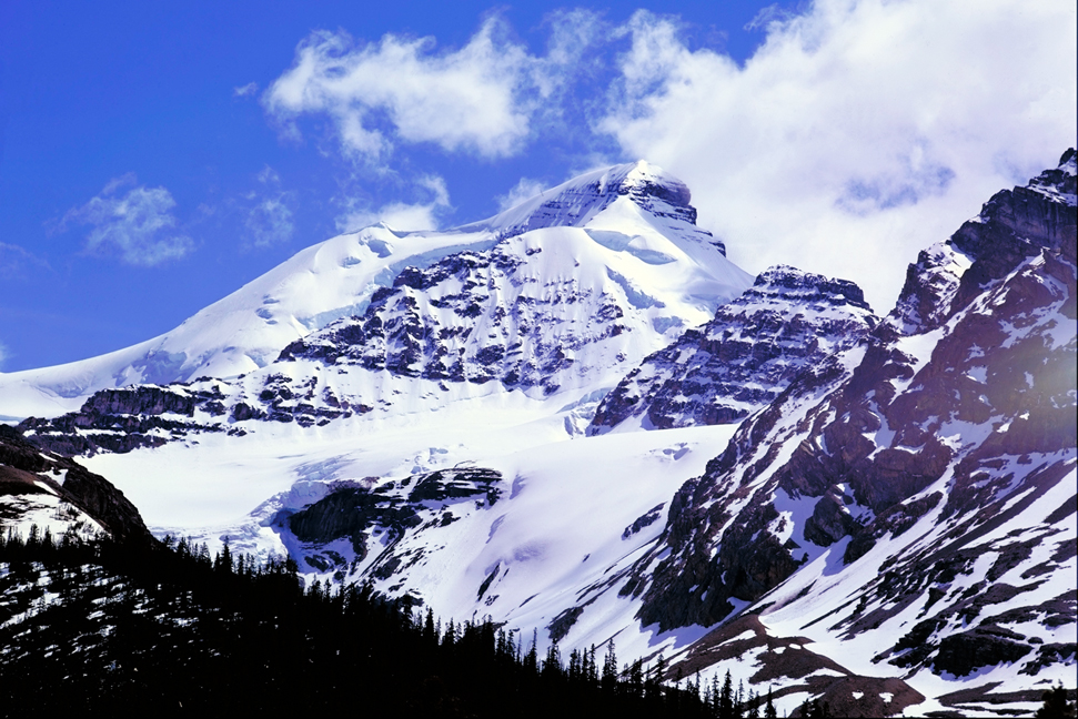
According to the quantity of solar radiation formed temperature conditions that affect the climate of different areas. Depending on the angle of incidence of sunlight different parts of the world receive varying the amount of solar radiation. Number of received radiation decreases from the equator to the poles, mostly with zonal distribution. However a number of factors (transparency of the atmosphere, altitude areas, light duration) such zoning is often violated.
Depending on the amount of received solar radiation and air temperature changes. However, the zonal temperature distribution is disturbed (this isotherms show - a line connecting the places with the same values of temperature). Alternating between oceans and land, the size of continents, topography, availability of flows - are the main factors that cause temperature differences between areas of middle pulse values.
term character displacement povitryannyh mass determines the distribution of atmospheric pressure. On the ground created three zones of low (on equator and in temperate latitudes) and four - high (in the tropical and polar latitudes of both hemispheres) pressure.
Depending on the atmospheric general circulation and water vapor content in air is the distribution of precipitation on the planet. Precipitation formed when saturated moist air rises and cools, causing condensation. Rainfall greater where prevailing low blood pressure, and in areas of cyclones and atmospheric fronts. And vice versa - much less rain in areas of high pressure dominated anticyclone.
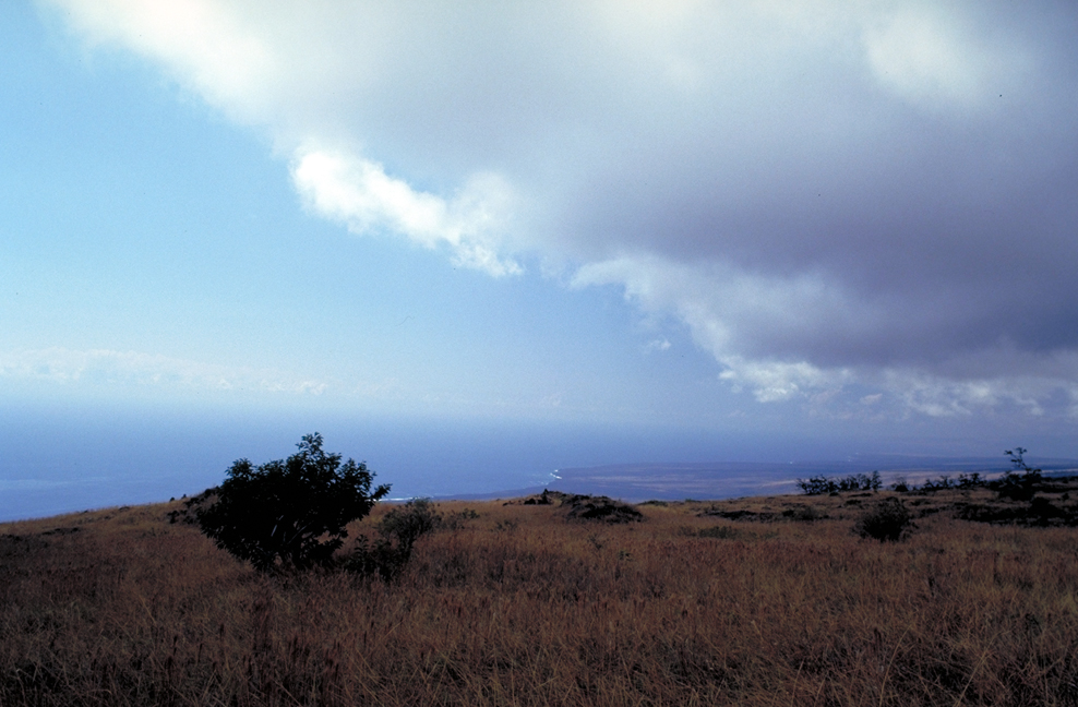
Because the oceans are a supplier of moisture in the atmosphere, most precipitation falls in the Southern Hemisphere, because it is dominated by water expanses. The rainfall also varies throughout the year. Most of them falls in the warmer months.
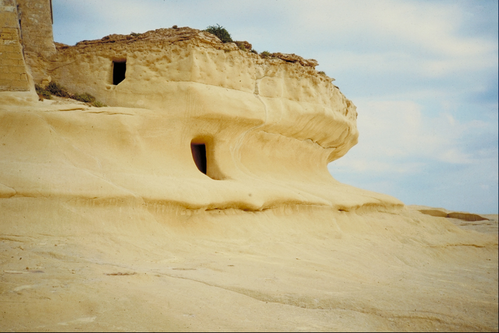
usually off from the oceans inland climate becomes drier continents, because precipitation in coastal areas. However, there are places on the planet's climate map, where virtually no precipitation on the coast and ocean. It is concerned with passing near cold currents. Chilled water over such areas of water to poor air moisture and forms clouds. That is why the coast ocean appeared nayzharkisha Atacama Desert in South America and the Namib Desert in Africa. Significantly affect the distribution of temperature and rainfall and warm currents. North Atlantic current, for example, makes a significant softening effect on the climate of Scandinavia.

GENERAL LAWS OF NATURE EARTH


 English