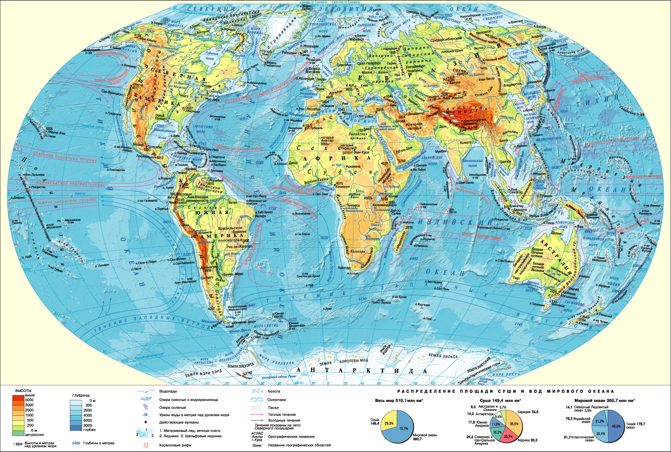
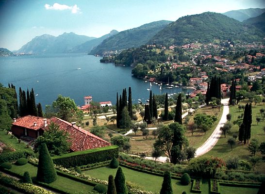
study of geography is not possible without a geographical map, which contains the most accurate and concise, objective information about the area, the placement of natural, economic or social objects and phenomena.
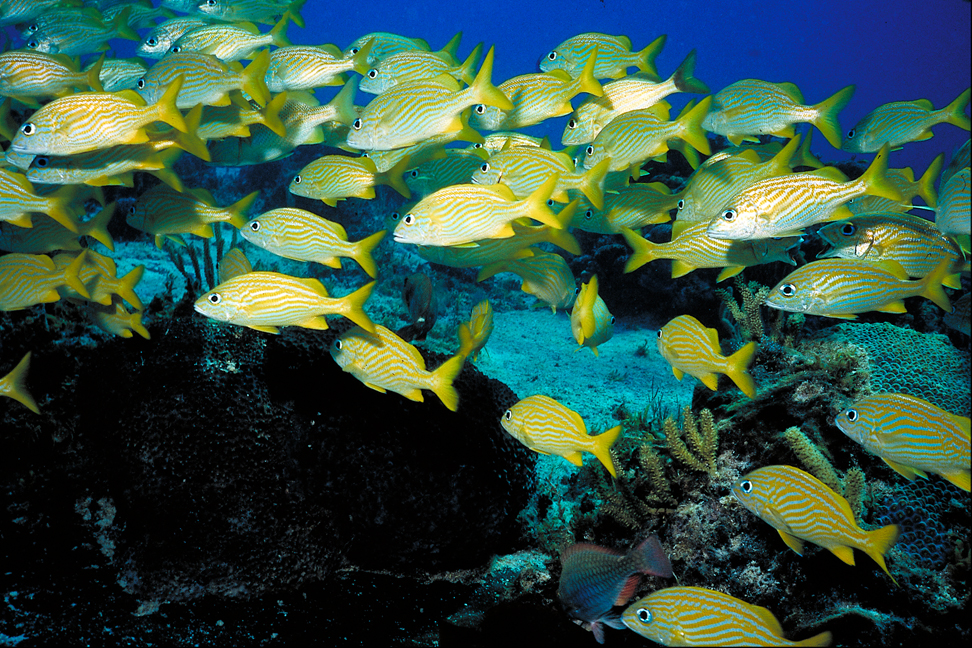
On this card better than other maps of the Atlas, representation of geographical objects (islands, peninsulas, bays, straits, seas, etc.). "The physical map provides insight into the major landforms land and seabed. It includes orographic name (landforms): mountains, plains, individual nodes with their altitude above sea level, as well as the names of landforms of the ocean floor - troughs, ridges, hollows, etc.
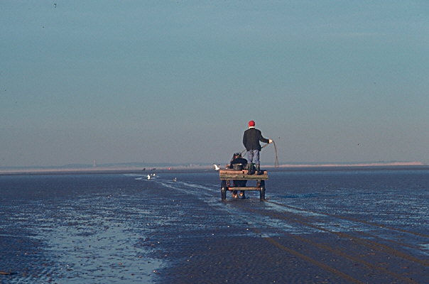
hydrographic base maps provided by rivers, fresh and salty lakes, waterfalls, which allows us to estimate the economic use of inland waters. Thanks to the trends shown we can draw conclusions about differences in climate within the climatic zones. Also shown in the desert, wetlands, salt marshes, sand, active volcanoes, signed the names of geographic areas (Llanos, Selvac, etc.).
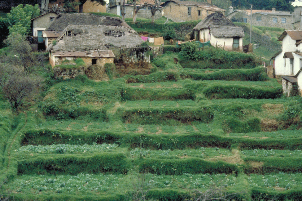
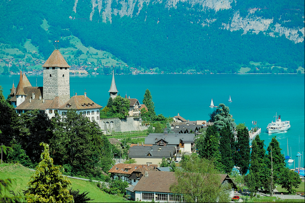
Comparing this map with the political will to generalize the idea of the landscape (flat or hilly), prevailing in a given country, and comparison with a map of "population distribution" will provide an answer to the question of why some areas densely populated, while others - not populated.
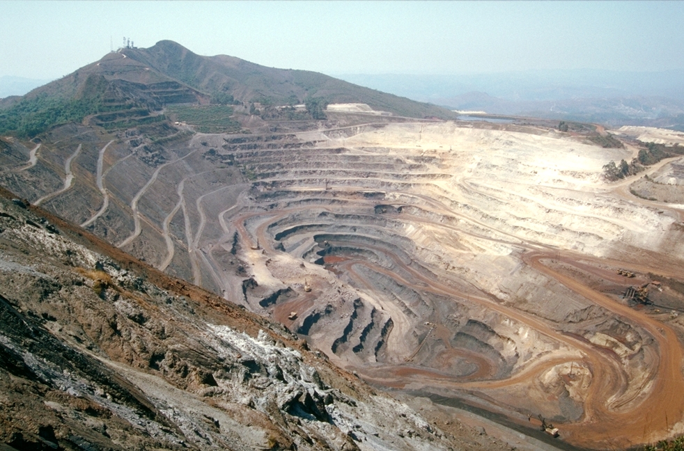
Comparing this map with a map of "Mineral Resources", we can trace the relationship of forms of relief from the mineral deposits of different origin (sedimentary, igneous, etc.).
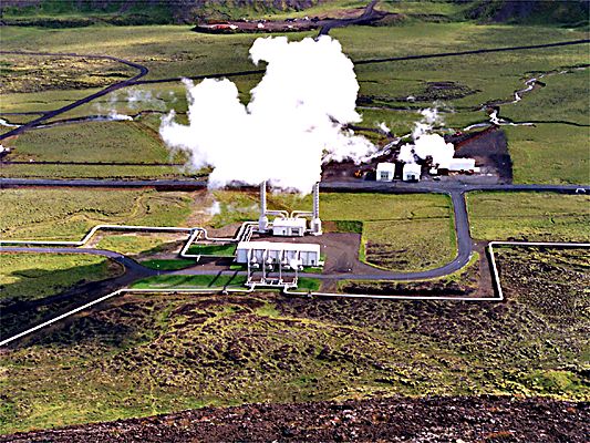
This card is used in the preparation of the characteristics of natural resources, as well as a regional review in the evaluation of natural-resource potential of the country.
Geography of Natural Resources


 English