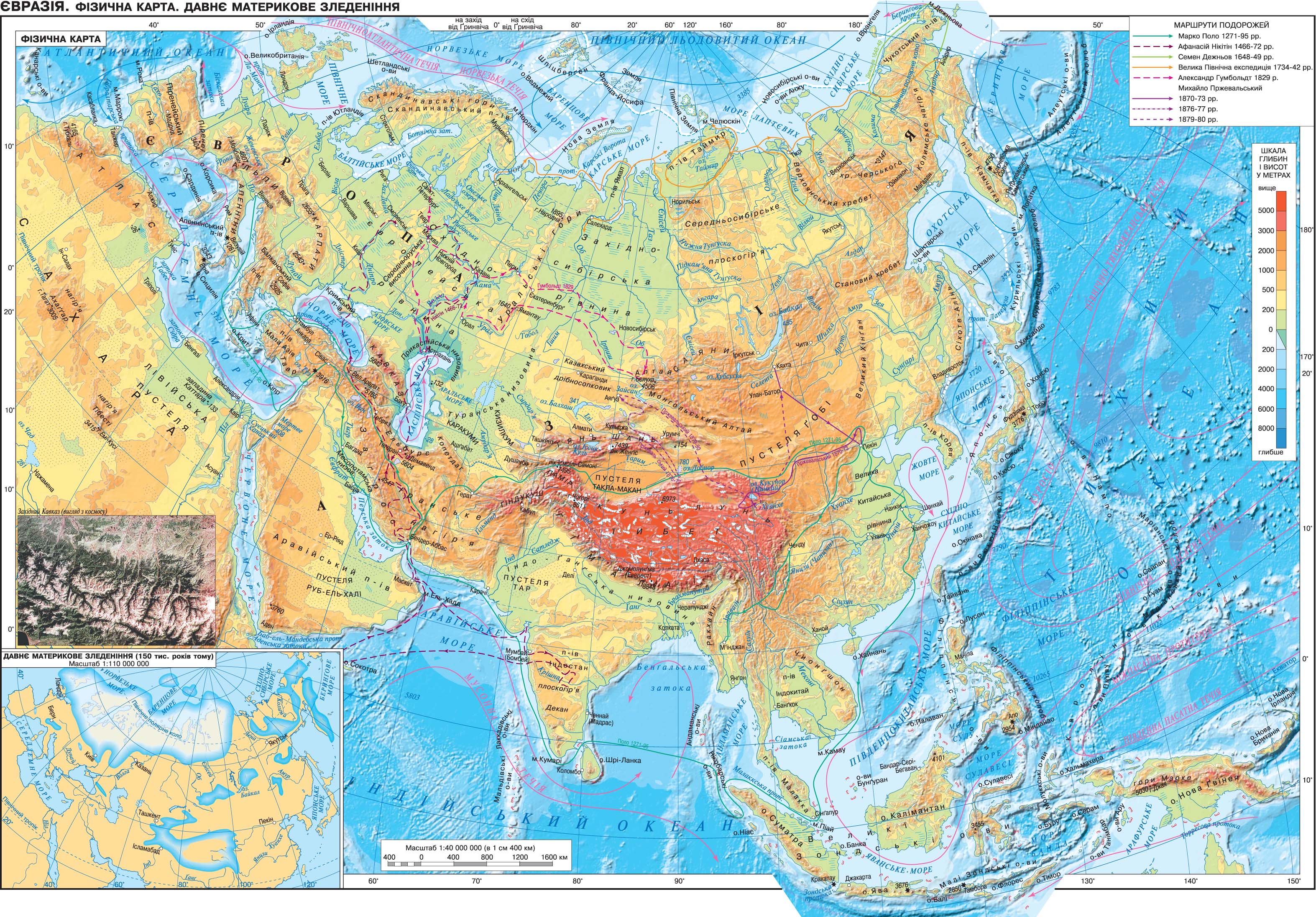
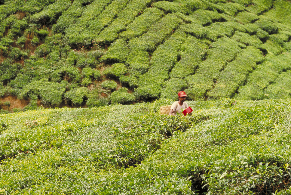
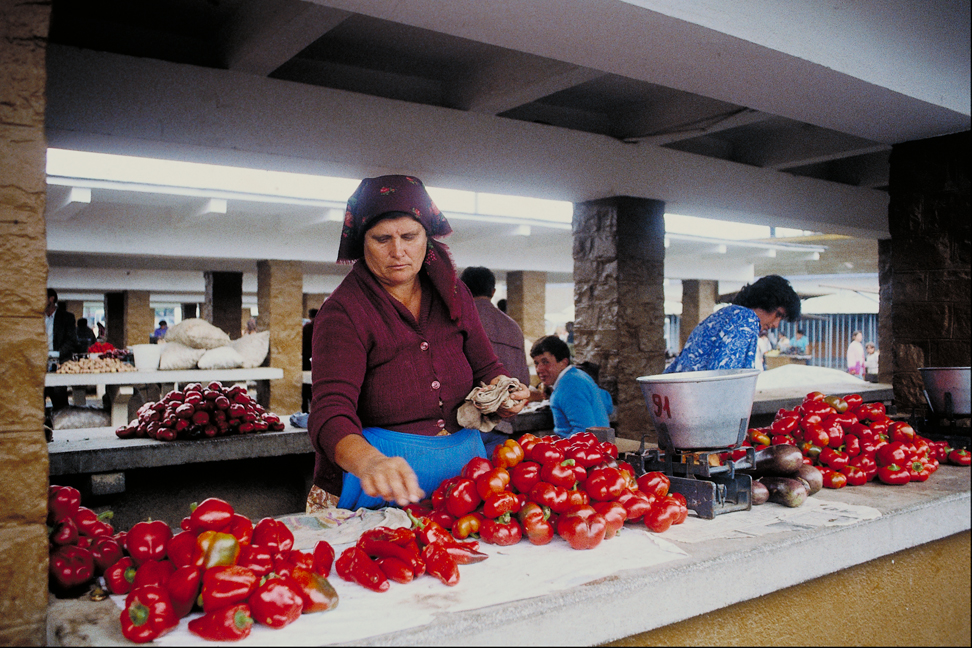
Eurasia - the largest continent planet. Its components are two of the world: Europe and Asia. The area of the continent with the islands is about 54 600 km2. Mainland is relatively equator in the Northern Hemisphere, the individual islands to the southeast of it are in the Southern Hemisphere.
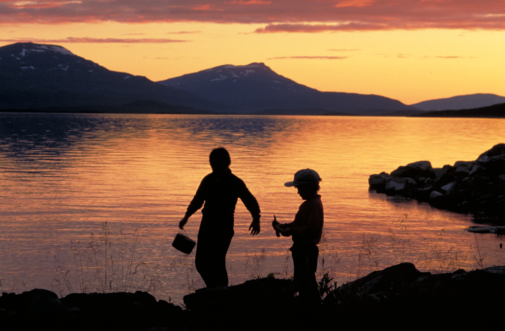
continent washed by the four oceans: the West - Atlantic, in the north - the Arctic, from the east - the Pacific, from the south - Indian. In fact, the entire length of the coastline of the mainland cut by numerous bays and seas. The greatest number of islands girded northern, eastern and south-eastern part of Eurasia.
Rivers dismemberment of the already heterogeneous surface height mainland. The largest among the rivers - Danube, Volga, Ob, Yenysey, Lena, Amur, Yangtze, Mekong.
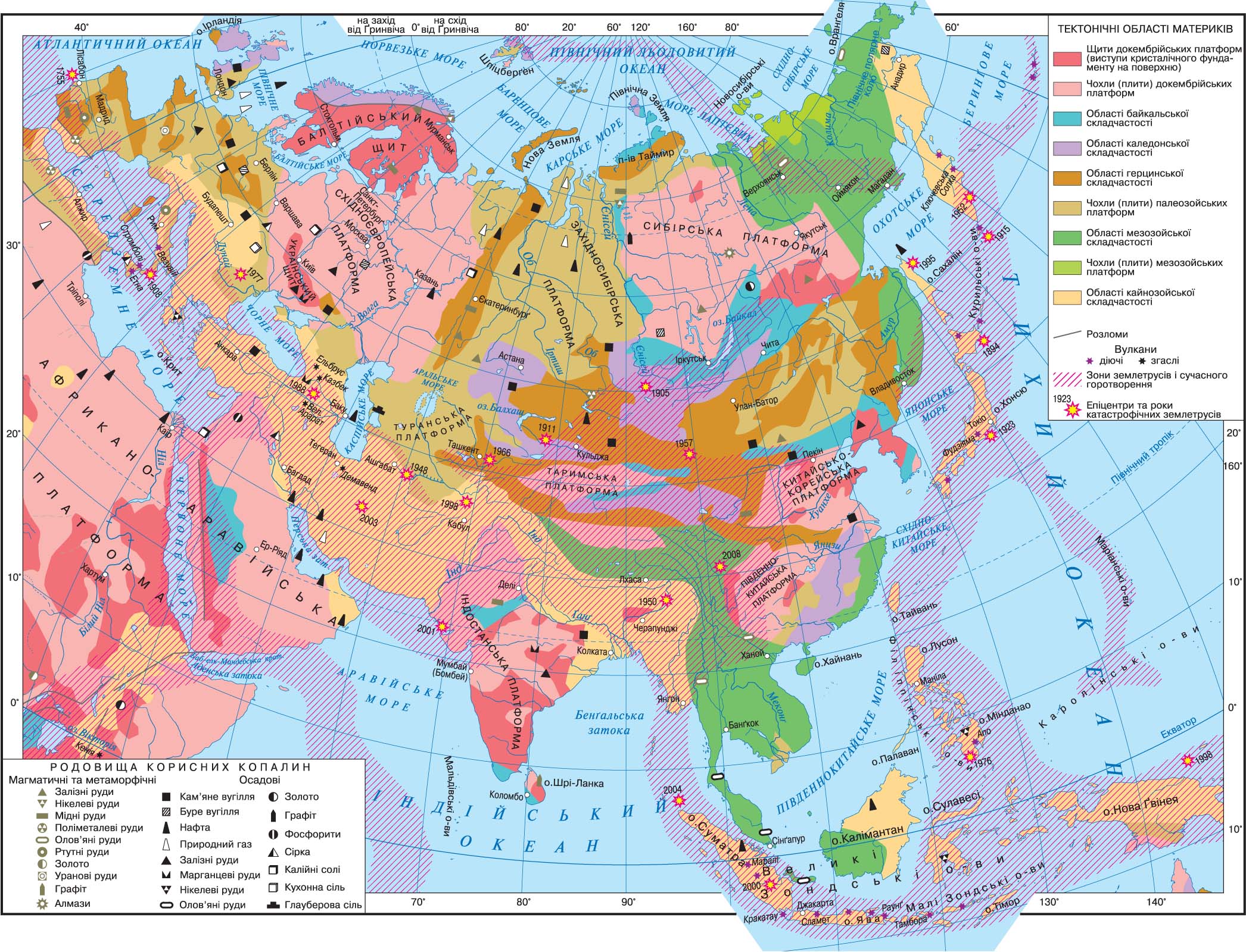
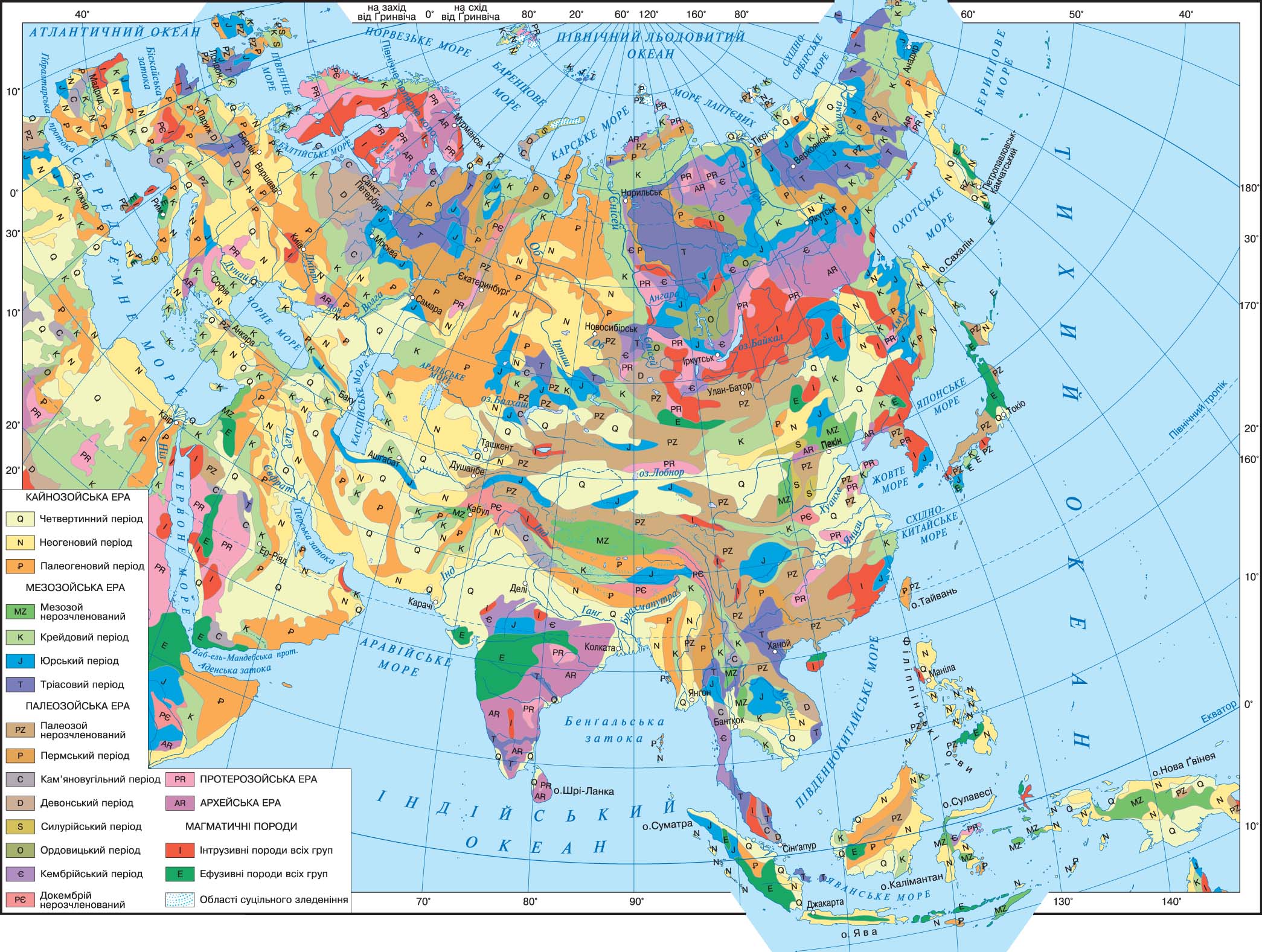
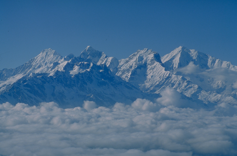
Compared with other mainlands Eurasia marked predominance of mountains, their average height is 840 m The mountains were formed in different geological epochs. Due to strong tectonic activity in the Neogene-to man was rejuvenation (lifting) of ancient mountain ranges and movements of modern alpine folded structures. The continent is the highest Himalayas mountain system and planet Earth's highest peak - hour Dzhomolungma.
horotvorchymy processes associated with formation intermountain hollow in Central Asia, near Lake Baikal and the Dead Sea, which has the lowest level on the planet (- 408 m).
Young folded structures and structures revived mountains inherent seismic events (earthquakes) and volcanism. In Eurasia, is an extinct volcano in the Caucasus, the Carpathians, Alborz and acting on the Apennine peninsula on the island. Etc. Sicily.
for Eurasian highlands typical mountain glaciers in the Pamirs, Tien Shan, in Hindu Kush, Kunlun, Tibet and the Himalayas and the Alps and Scandinavian Mountains. Remains pokrivnoho is icing on the islands of the Arctic Ocean (Svalbard, Novaya Zemlya, Franz Josef Land, Severnaya Zemlya).
Significant areas of the mainland territory occupied by wetlands - swamps (north and west of the East-West-Siberian plain, Lena and Kolyma Lowlands and on the islands south-east) and areas with insufficient wetting - the desert. Top among the deserts - Kyzylkum in Central Asia, Br - Al-Khali in the Arabian peninsula, the Gobi and Takla Makan in Central Asia. There on the continent and salt lakes (Balkhash) and saline area to the Iranian Plateau and north of the Gobi Desert.
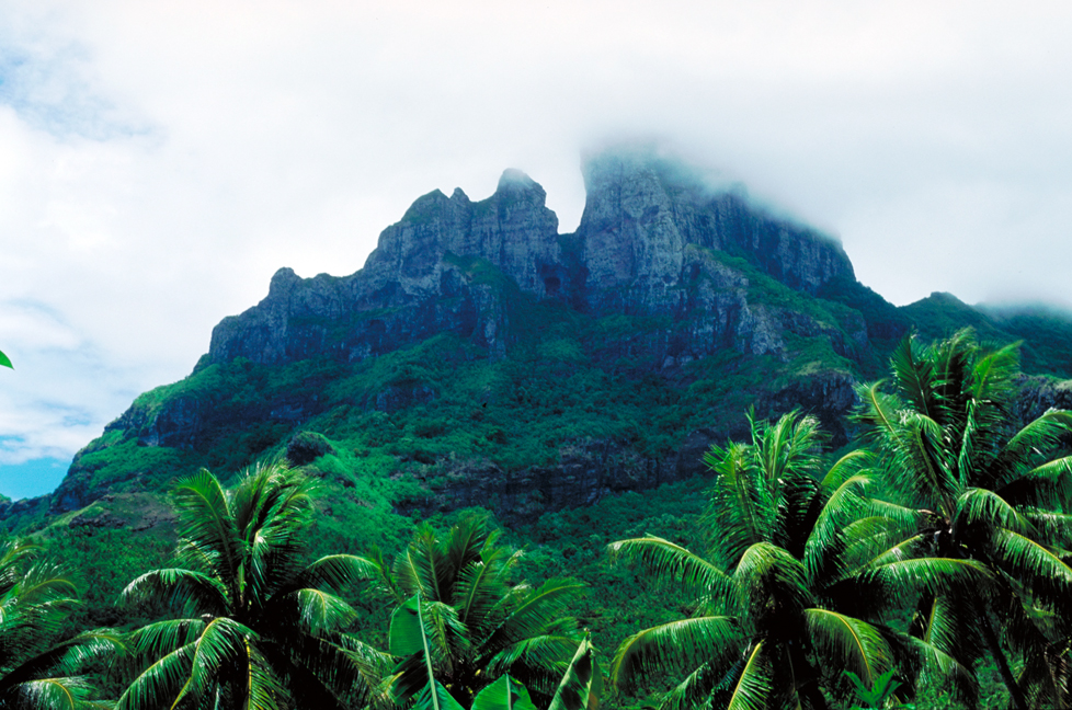
In the warm southern seas conditions favor the development of coral reefs that form-long. Instead, the seas of the Arctic Ocean covered by ice in the summer and winter floating ice streams submitted to the Japanese home islands.
EURASIA


 English