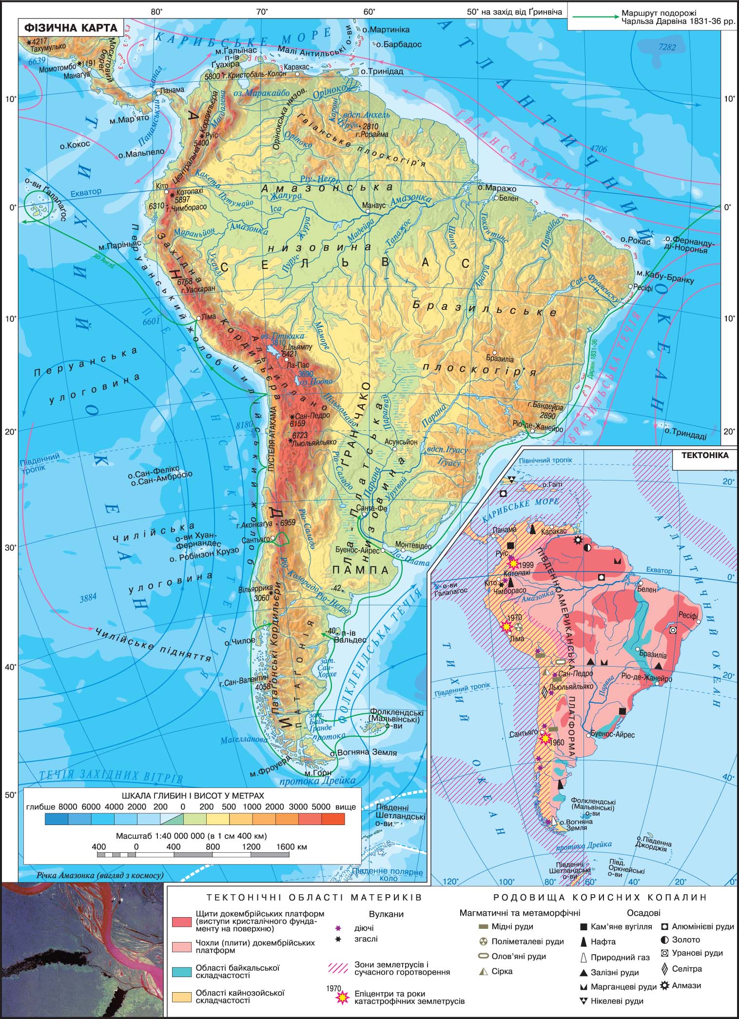
Mainland South America, along with North America are part of the world America. The area of South America, along with the islands - 17 830 thousand miles 2 . The mainland is located in the Western Hemisphere with respect to the prime meridian. The equator most of it is in the Southern Hemisphere, the smaller - in the North
South America is washed by two oceans: the east - the Atlantic in the west - Pacific.
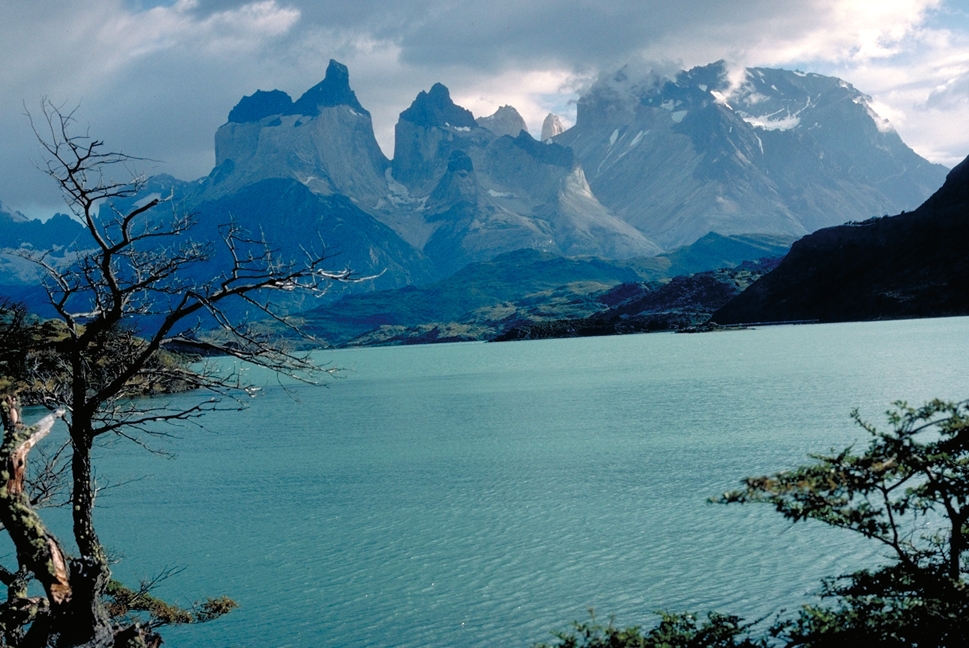
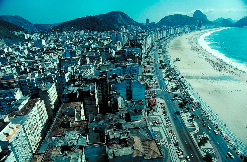
The coastline is dissected by little, the large bays are available only in the south-east coast (La Plata, San Jorge, Bahia Grande), and the south-west coast are many small islands, straits and inlets with steep rocky shores. Atlantic Ocean to the south of Horn connected with the Pacific Ocean Drake Passage. Numerous islands (the largest of them Chiloe and Tierra del Fuego), bays and straits are only in the south Pacific coast of mainland
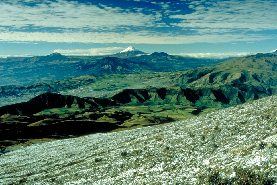
The average height of the continent above sea level 590 m, maximum - 6,959 m (Aconcagua), the lowest - 42 m below sea level. Surface shape of the continent due to its tectonic structure. On the ancient South American Precambrian platform located Amazon, La Plata and Orinokska lowlands. To the north of the Amazon lies in the crystalline shield Guiana Plateau. To the east of the mainland there is a large area of the Brazilian Plateau, also associated with outcrops of crystalline rocks of the Precambrian Platform. On the Pacific coast stretch young high Andes Mountains, which formed in the Cenozoic age folding. In the north, the Andes have a height of over 5,000 meters, and at the equator they reach 6 or more thousand feet.
In the Andes, is the highest peak of Mount Aconcagua, the continent. From her mountains to the south are gradually declining. Andes, together with the Cordillera of North America form the eastern part of the Pacific belt of seismicity. In the south of the mainland, east of the Andes, lies the Patagonia, with elevations ranging from 500 to 3000 m. The geographic area formed under the influence goroutvoryuvalnih era Baikal folding processes, which in some cells rejuvenated structures cover the Precambrian platform
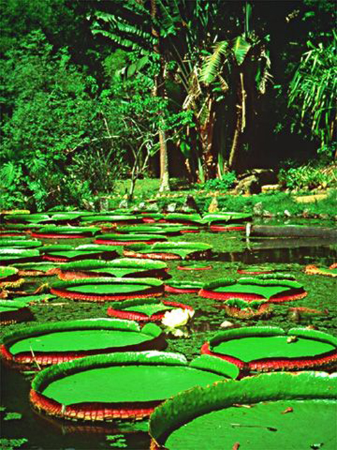
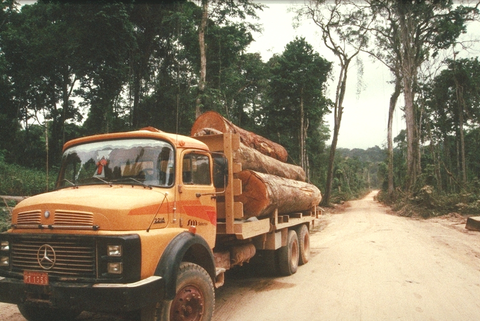
Heterogeneous for surface height mainland dismember the powerful river systems, the largest of which is a system of rivers in the Amazon. Amazon (along with the Mara??n) is the second river in the world in length, and its swimming pool area - the largest on the planet (more than 7 million km 2 ). Amazon flows through the entire continent from east to west. In the Orinoco river system is the highest on the planet Angel Falls. On the west coast of the mainland river a bit and they all have short length.
Andes to the Cordillera of North America are the eastern part of the Pacific belt of seismicity. The processes of mountain building, accompanied by faults, volcanic eruptions and devastating earthquakes to occur in our days.
The tropical part of the continent washed by the warm waters, creating favorable conditions for the formation of coral reefs. From the south along the Pacific coast of mainland cool Peruvian current, but along the Atlantic coast - the Falklands. Also during the cold westerly winds in the Drake Passage drives away the floating ice from the shores of the mainland in the direction of Antarctica, not only in summer but in winter. On the mainland ice phenomena observed in the highlands, even in summer. Wetlands and wetlands are characteristic of La Plata lowland Orinoco Delta and the north-east coast of the mainland. In South America is arid Atacama desert planet
SOUTH AMERICA


 English