Differences in climate in different parts of the globe caused by three main factors: latitude areas, the movement of air masses and character pidstelyayuchoyi surface.
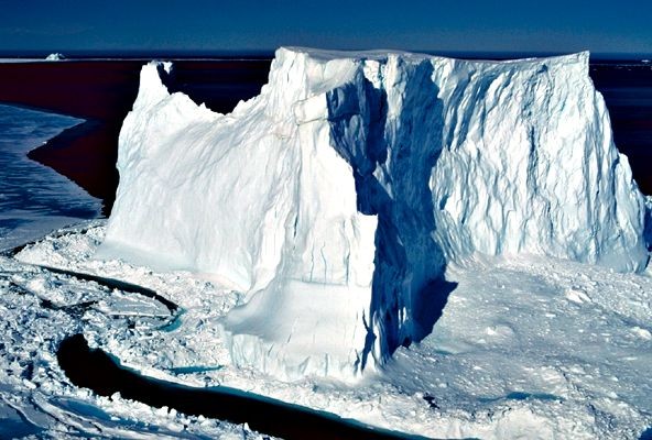
From June to August, more sun illuminating the Northern Hemisphere. June 22 angle of incidence of sunlight on the parallel 23 ° 30 'Mon. sh. is 90 °. It was then observed in the Northern Hemisphere the longest day and shortest night, is called the June 22 summer solstice day. In parallel 66 ° 30 'Mon. sh. During this period the sun never comes over the horizon, though the angle of sunlight is low, polar day here. Parallel 23 ° 30 'Mon. sh. called the Northern Tropic, the parallel 66 ° 30 'Mon. sh. - Arctic Circle. This time of year in the Southern Hemisphere winter. To the south of parallel 66 ° 30 'South. sh. (Southern Arctic Circle) the sun does not appear at all. There's polar night.
Thus the line on the map tropics limit the territory within which the sun twice a year is in the zenith (at 90 ° to the surface). Polar circles show the latitude, which are polar day and polar night.
In between the solstice, namely 21 March and 23 September, Earth is the Sun's position relative to when the sun's rays illuminate the same southern and northern hemispheres. All over the globe, except the poles, day is night. These days are called days of equinox (spring and autumn respectively).
If climate depended only on the angle of incidence of sunlight, at the same latitude as the temperature would be the same. But because the ocean heats and cools more slowly than land, ocean and mainland air masses also have a different temperature. There is a difference of pressure, resulting in a huge air masses move, carrying a stock of moisture. Moving inland from the oceans continents become drier climate, as moisture in the form of precipitation falls mainly in coastal areas. However, climate map you can find places of the globe where there are virtually no precipitation on the coast and ocean. This is due mainly to the passage near cold currents. Chilled over such poor air currents on moisture and forms clouds. That is why the oceans were formed on the coast of the Atacama Desert in South America and Namibia in Africa.
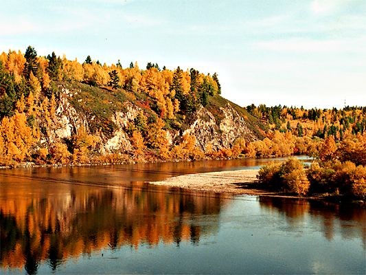
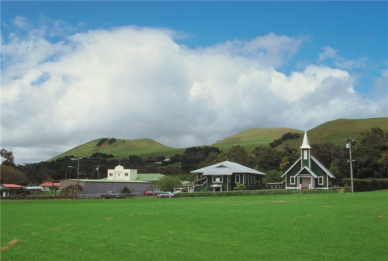
Climate with warm winters, cool summers, low annual amplitude of air temperatures and high rainfall are called sea. Climate with cold winters, hot summers and relatively small amount of precipitation is considered to be continental. There is moderate continental, continental and rizkokontynentalnyy climate. Climate majority of the territory of Ukraine is temperate continental. The climate of coastal areas that are under the influence of monsoon, called the monsoon.
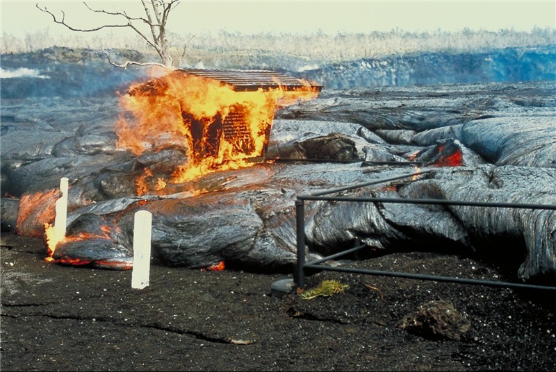
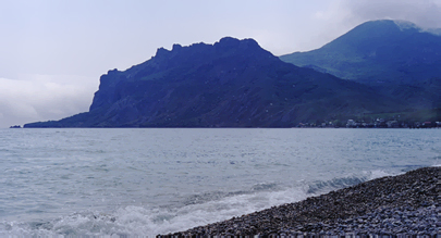
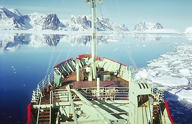
The distribution of temperature and precipitation on continents significantly affected not only the cold ocean currents. Warm air flow warm coast. Yes, the North Atlantic current, such as warming the coasts of Scandinavia, creates conditions for the growth of mixed forests, while in Greenland at the same latitude formed bahatokilometrova thickness of ice. Significantly affect the climate and terrain land. Mountain ranges delay air masses, contributing to precipitation. That is why in the Himalayan foothills in India, the largest falls on the Earth's rainfall, almost 12 000 mm per year, and the western slopes of the Carpathians account for more precipitation than the east. The mountains also protect from cold winds. Therefore, on the southern Crimean coast is virtually frost. Plains contrary - miss air mass for thousands of kilometers, which is why the north wind with us is always cold.

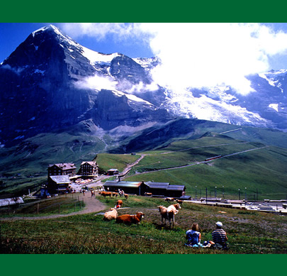
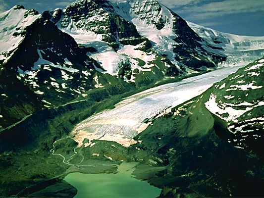
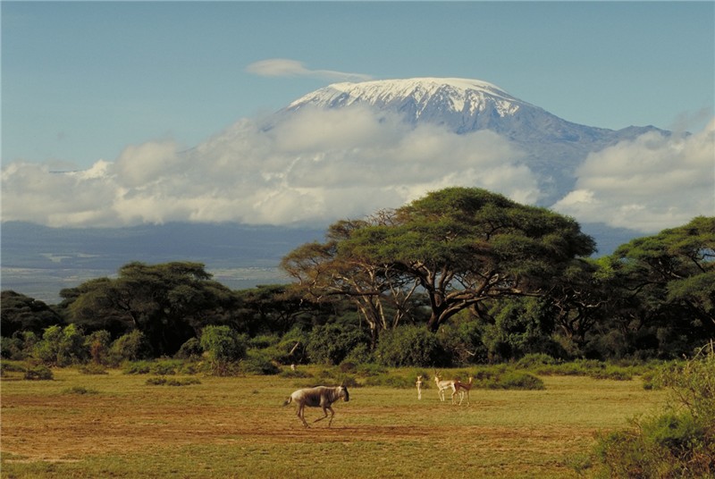
As the temperature in the troposphere decreases with height, the terrain height above sea level also affects the climate. From the height it becomes colder. That is why the top of Mount Kilimanjaro near the equator all year round snow.

SHELL OF THE EARTH


 English