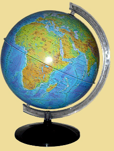
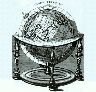
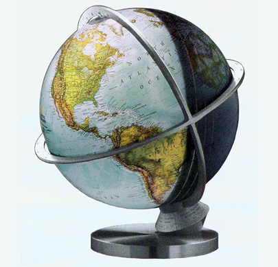
Based on the comparison of different areas images (drawings, photographs, plans, maps, etc..), We can conclude that they are smaller images of this area. However, all of the images significantly differ. Unlike images, maps and plans of small and minor detail is not depicted, in addition to topography pass through symbols. Thus, the plan area - is reduced, consolidated, made using symbols image a small area of earth surface curvature is negligible. Same geographical map depicting significantly larger area and even the entire surface of the Earth. Thus, while there is a need to consider that the Earth has a spherical form. Therefore, the spherical image map of the earth's surface, which is a plane, some areas have to submit distorted slightly (slightly compressed, or stretched). How does a cartographer do not, you will learn in further study of geography.
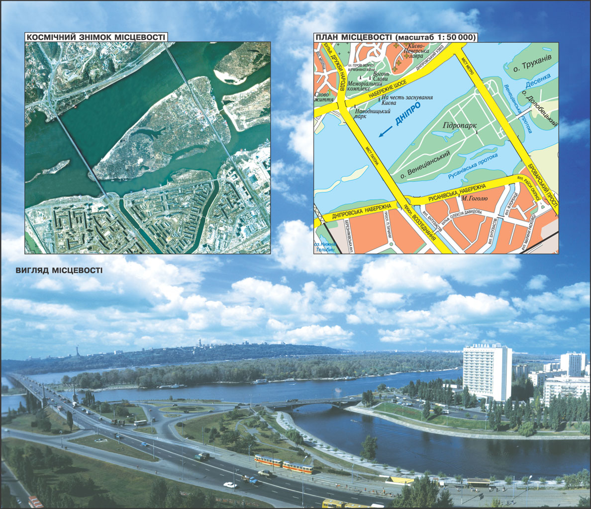
LAND ON THE PLAN AND MAP

 English