
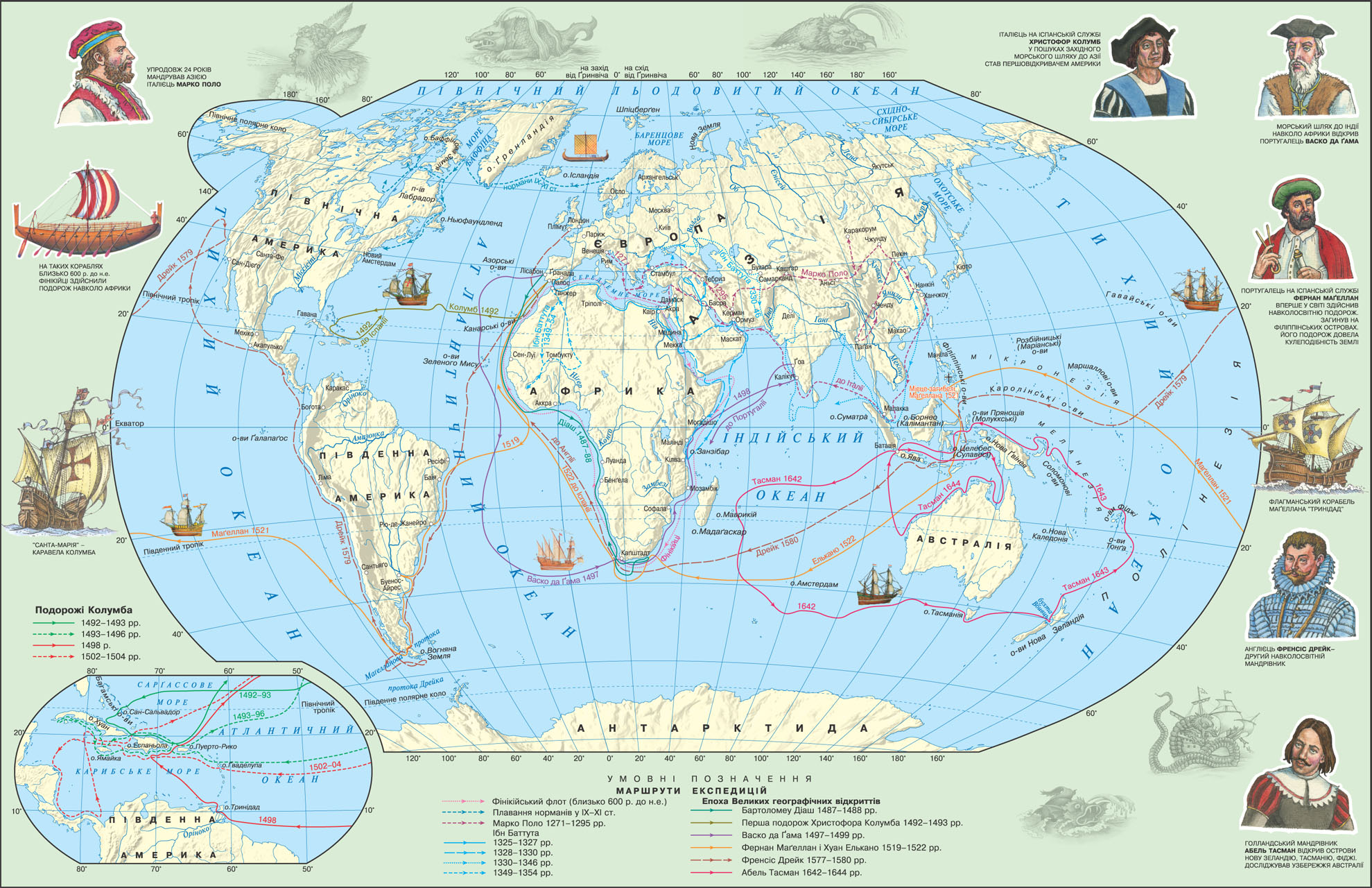
The first information about the geographical discoveries date back thousands III BC Egyptian sailors mastered the sea route to the east coast of Africa and southern coast of the Arabian Peninsula. However, the best sailors of the ancient world, of course, were the Phoenicians. Back in Article VI. BC they opened the sea route around Africa, which was updated only 2000 years later.
For five centuries before Columbus' ship already Normans overcame the North Atlantic. It was the Normans discovered Iceland, Greenland and established their settlements in North America. Greatly expanded the horizons of geographical knowledge Arab travelers. Maps of the Arab geographer Idrisi (1100-1165 biennium) is evidence of deeper geographic cognitions contemporary Arabs compared with Europeans. And in our time retains its value made Moroccan Ibn Battutoyu (1304-1377 biennium) description of his visit. A huge amount of geographical knowledge was gained in China. So back in the thirteenth century. BC. AD is the observation of the weather, and in the second century. conducted census. It is the Chinese opened the water cycle in nature, used in navigation compass, have entered into many geographic maps.

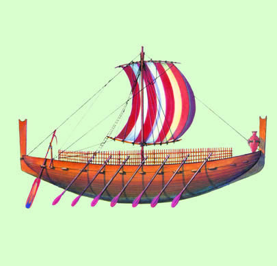
Long since attracted Europeans India and China. But the land routes to these countries was extremely difficult and dangerous. It goes through the hot desert, high mountains and broad river. And despite all the difficulties Venetian merchant Marco Polo in the 1271-1295 biennium able to travel deep into Asia. The way in one direction only lasted over four years. Polo about 17 years spent in China, the accumulated knowledge of this exotic country were the basis for the book that has become almost a first source of systematic knowledge of Europeans about Asia.

A half century after Polo's travels, in 1468-1474 he Tver merchant Athanasius Nikitin visited Persia and India. He notes "Journey Beyond Three Seas," where he describes his six-year intent also is a valuable literary and historical sites.

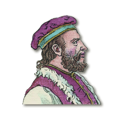
Rumors of India with its incredible wealth led to the search easier way to this fabulous country. Based on the assumption of sphericity of the Earth, henuezets Christopher Columbus was convinced that India can reach by sea, heading across the Atlantic Ocean to the west. After years of appeals to the governments of different states Columbus finally got the money for the expedition of the Spanish queen. At dawn on August 3, 1492 three ships under the Spanish flag left to find the shortest route to India. Cruise seemed much longer than expected sailors. Several times exhausted team members required to return the ship back. Only stability and persistence Columbus expedition rescued from collapse. And lo, October 12, 1492 sailors saw land. It was a small island group of the Bahamas, Columbus named San Salvador ("Holy Savior"). In search of El Dorado expedition Columbus discovered many islands, among them Juan (Cuba) and Hispaniola (Haiti). Travelers can be sure that India achieved because the natives mistakenly called Indians and Islands - West Indies.
In 1911 Columbus led three expeditions to the West Indies, by opening more than 700 islands. However, all these trips only shake his credibility. After the second voyage to the West Indies (1493 - 1496's) Christopher Columbus lost all privileges. Through humiliation he still achieved the right to manage his third trip in the summer of 1498. Since her 1500's journey brought them to Spain in chains, depriving him of the title of governor of open land. Only Spaniards outrage forced the government to soften its attitude somewhat to the navigator. In 1502 Christopher Columbus once again managed to go to the West, and that's what swimming was naynevdalishym. During his travels, he found much gold, in which both expected and realized that not developing the coveted East. Because of this, Columbus has spent the last years of his life in poverty and struggle with the King for his promised benefits. And though he got his traveling coast of South America, Christopher Columbus by the end of life did not know who discovered a new continent.
In 1499-1504 he was the Florentine Amerigo Vespucci organized three expeditions to new lands and first suggested to him that is India, and mainland unknown New World. Therefore lotarynzkyy cartographer Martin Valdzemyuller on the world map published in 1507 year, a new continent called America.
In 1497-1499 he was the Portuguese navigator Vasco da Gama rounded the southern end of Africa - Cape Agulhas, swam along the east coast of Africa, crossed the Indian Ocean for 23 days and reached the shores of the real India. But da Gama achievement was only a continuation of other studies of Portuguese traveler Bartolomeu Dias, who ten years before he first rounded the cape, called the Cape of Good Hope. But then, being forced to yield to the demands of the sailors, Dias took a hard decision to turn back.
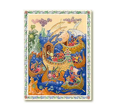
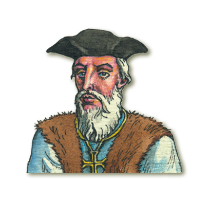
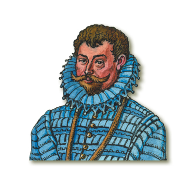
Since the eastern route to India was controlled by Portugal, in 1519 Spain was organized expedition to find the way to the western islands of spices. From the town of Seville caravels, led by flagship "Trinidad" under the direction of Ferdinand Magellan took a course to the west. Way to America did not cause much difficulty, but a trip to the south, along the shores of little-known continent, took the entire 14 months. In search of the strait between oceans sailors had to examine each bay before for high cape they found the strait, called the Magellanic later. After crossing an unknown ocean, March 5, 1521 the expedition reached the Philippine islands. During the trip the weather was favorable, and the ocean calm, so Magellan named it the Pacific. The purpose of the expedition was attained, but Magellan's voyage to the Philippines ended: he was killed in a skirmish with natives. Only one caravel the Victoria returned home. With 265 sailors native shores saw only 18. Spices, brought from the Molucca Islands, fully compensated for the costs of the expedition. It concluded first round the world, the results of which confirmed the assumption of sphericity of the Earth. In addition, there were more precisely defined the size of the globe and the ratio of water and land it and prove the existence of one of the oceans. In 1577-1580 he English navigator Francis Drake made a second after Magellan's voyage around world, further explore the west coast of South and North America.
In 1606, the Dutch reached the Australian mainland and named New Holland. Dutch navigator Abel Tasman in Yanszon 1642-1644 biennium opened Islands New Zealand Fiji Tonga, Tasmania (bears his name), explored the northwest coast of New Holland.
GEOGRAPHICAL KNOWLEDGE OF EARTH


 English